Ready to map with us? See you on May 22, 2024!
In 1 click, help us spread this information :
Want to get involved for MSF without leaving Luxembourg?
On Wednesday, May 22, 2024, we're organizing a mapathon at the Université Populaire du Luxembourg, in collaboration with the Digital Learning Hub and 42 Luxembourg. A simple way to support us and have a direct impact on MSF's operations and projects.
What is a mapathon and how can it have an impact on operations in the field?
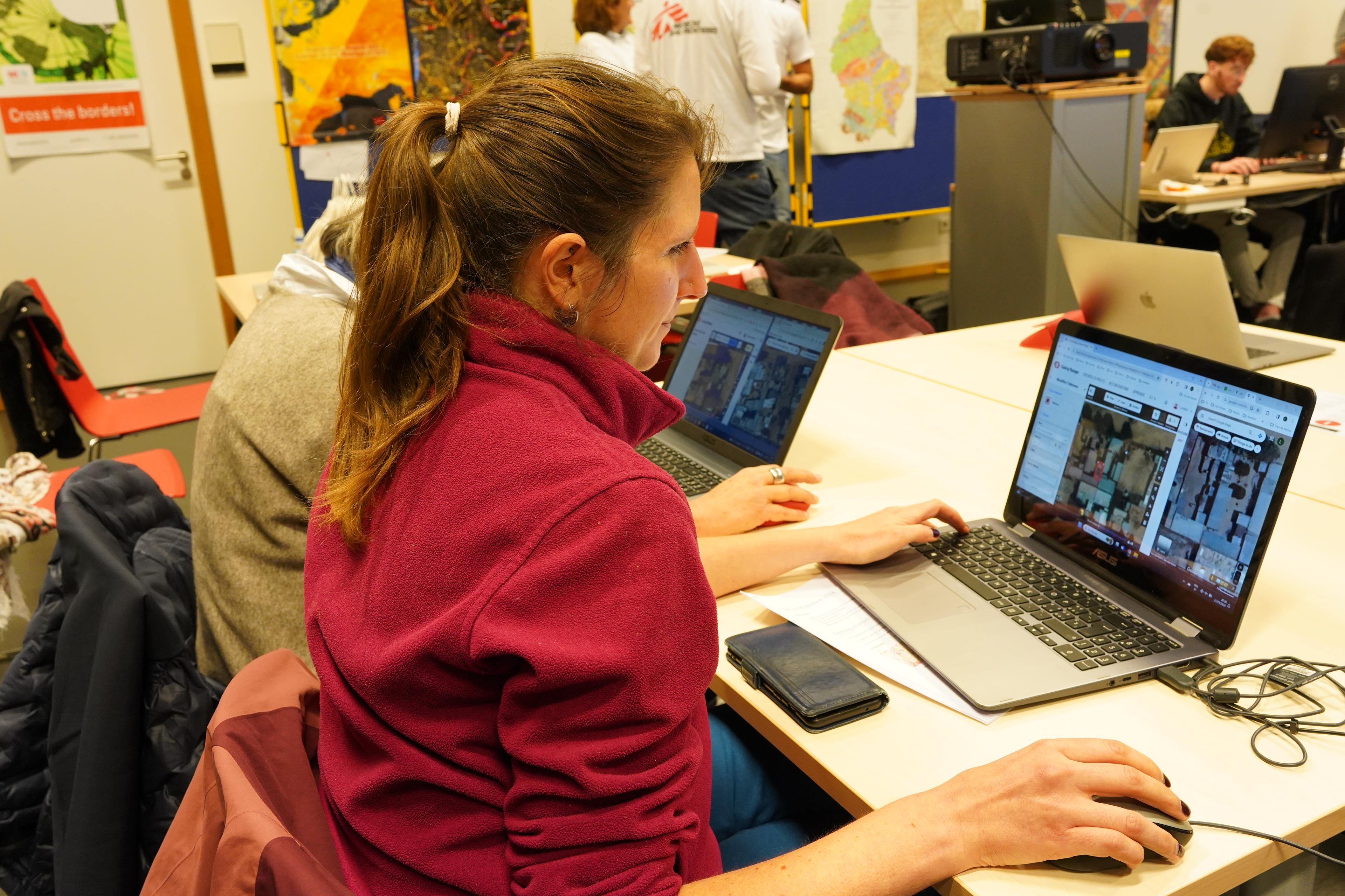
A Mapathon is a participatory mapping workshop that directly supports MSF's operations in a given area, by tracing roads, waterways or building outlines. The maps thus produced are an important tool for decision-making, planning logistical requirements, communication and support for operations, such as optimizing epidemiological surveillance and coordination with other organizations.
To take part, all you need is a bit of time on your hands and a computer (which can be provided if required). The event is free, open to all and requires no prior knowledge. Is this your first mapathon? Don't worry, a team of volunteers will be on hand to support you, and a tutorial and background information on the mapped area will be presented at the start of the event.
Date: Wednesday, May 22, 2024 | 6:30 pm - 9:30 pm
Location : Digital Learning Hub | Terres Rouges Building | 14 Porte de France, 4360, Esch-sur-Alzette
Please bring your laptop. If you don't have one, computers will be made available to you (please request them via the registration form below).
I would like to register
If you have questions
reach out to Apolline Ledain
Why should I take part?
As well as being of interest to the MSF teams in the field, mapathons are convivial events, organized at the end of the day to make it easier for everyone to get involved. These events also create opportunities to acquire new skills:
- Mastering digital mapping tools, by familiarizing yourself with digital mapping software and tools such as OpenStreetMap ;
- Analysis of geospatial data, as you will be required to locate and position buildings, learning to read and understand map information, as well as identify spatial patterns and trends.
- Raising awareness of social and environmental issues, by learning how data collected contributes to solving problems caused by natural disasters.
Practical information
Several parking lots closer to the Digital Learning Hub are open to the public:
See the maps opposite for access to the Digital Learning Hub building.
Further information is available on the site du Digital Learning Hub.